Anyone who has fished the Fryingpan for more than a season learns to check the gauge before checking the weather. This August, the gauge is telling a story that has almost nothing to do with rain.
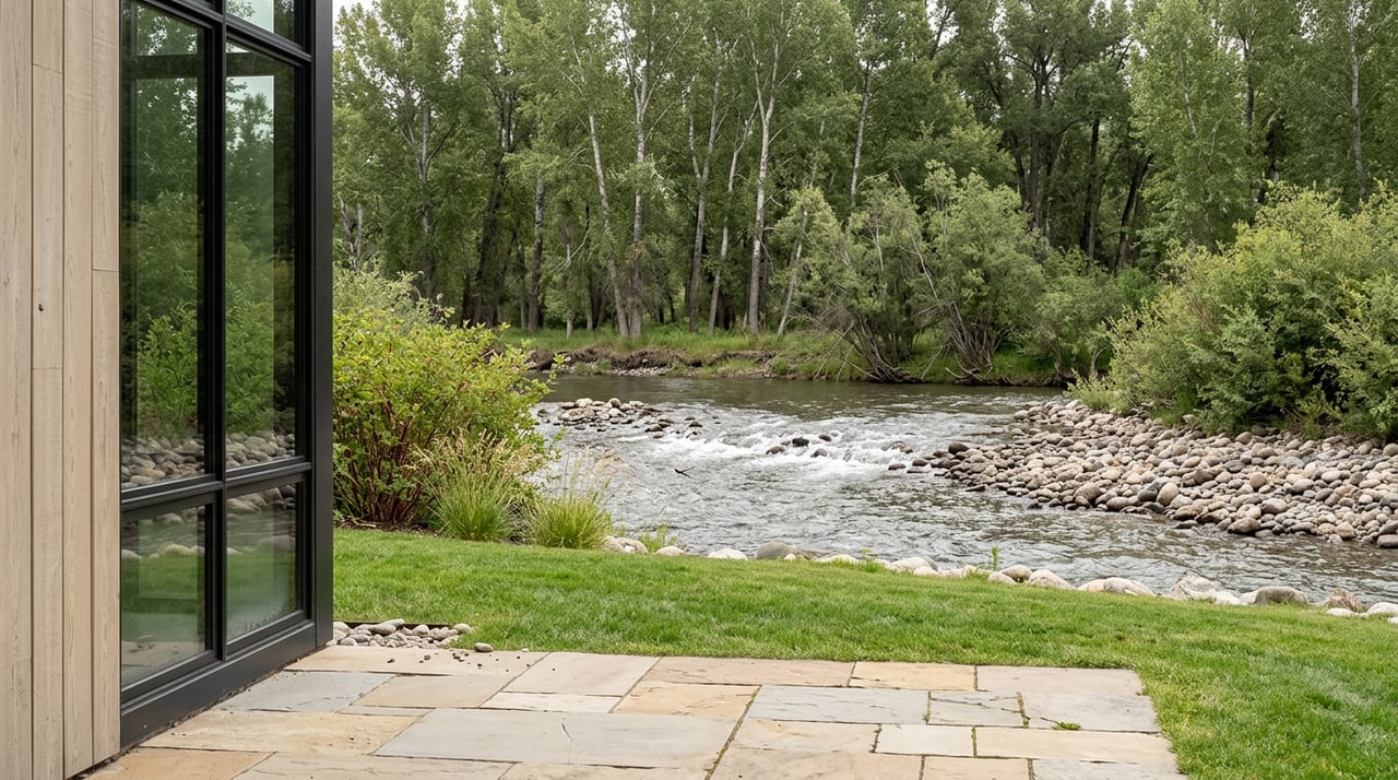
As of August 12, the Fryingpan was running a combined 516 cfs across its three USGS gauges, about 136 percent of normal for this time of year against a seasonal average of 379 cfs. Two days earlier, the gauge near Ruedi Reservoir itself had jumped to 409 cfs in a single 24-hour rise of 29 percent. Compare that to early August, when the upper river above Ruedi was sitting at a placid 145 to 199 cfs, the kind of number that makes for an easy wade and a good dry fly bite. The river didn't get here because of a wet monsoon season in the high country. It got here because a farmer in the Grand Valley, more than a hundred miles downstream, needed water that Aspen and Basalt happened to be sitting on.
The Plumbing Behind the Fryingpan
Ruedi Reservoir impounds the Fryingpan about fifteen miles upstream of Basalt, and most of the year its releases are tuned to keep the river in that sweet spot anglers actually want, generally between 150 and 300 cfs. This year is different. The upper Colorado River basin is working through what water officials have called the worst snow drought on record, and the mechanism that's supposed to cushion that shortfall runs straight through the Fryingpan.
Here's the part most residents never hear explained: Green Mountain Reservoir holds a pool of water called the Historic Users Pool, built specifically to protect senior water rights holders in the Grand Valley, a set of claims collectively known as the Cameo call. When that pool doesn't fill, as it didn't this year, the shortfall gets made up elsewhere in the system. That elsewhere, this August, is Ruedi.
The Colorado Water Trust began releasing from a 4,700 acre-foot pool it leases in Ruedi in early August, and the Colorado River Water Conservation District, based in Glenwood Springs, followed with releases from its own 10,500 acre-foot pool the following week. Both are part of the River District's 2026 drought response plan, aimed at getting relief to irrigators in the Grand Valley who were running roughly 500 cfs short of what their water rights entitle them to.
Brendon Langenhuizen, the River District's director of technical advocacy, laid out the tradeoff plainly at a remote meeting with local officials in late July. Water managers are trying to keep releases under 700 cfs, since flooding concerns on the Fryingpan start becoming real around 800 cfs. But the fishery takes a hit long before that threshold. Anglers generally want flows under 300 cfs for safe wading, and Aspen Mayor Rachel Richards raised that exact concern at the same meeting, asking whether releases could be held closer to 300 to 350 cfs when possible.
They weren't, not consistently. The numbers from this week show why that ask was optimistic. Once the releases started, the river climbed past the comfort zone and stayed there.
A Reservoir at 65 Percent and a Boat Ramp on Borrowed Time
Ruedi was sitting at 65 percent full as releases began, and Tim Miller, a hydrologist with the U.S. Bureau of Reclamation, offered a comparison that locals who've been here a while will recognize: this year's drawdown is pacing about ten days ahead of 2002, the last time drought forced this kind of operation at Ruedi. When a Forest Service representative asked when the reservoir would get too low for the boat ramp to function, Miller didn't have an exact date, only that it would likely happen within the next month.
That's not a footnote. If you paddleboard Ruedi on summer evenings or launch a boat there with the kids on a Saturday, this is the season to check before you drive up, not assume the ramp works the way it did last July.
Where Local Guides Are Actually Sending People
The fly shops that track this river daily have been blunt with anyone who calls in. As flows rose past the point where wading is comfortable, the recommendation from Taylor Creek Fly Shops was to look elsewhere on the system rather than force a day on water that's pushing harder than usual. Their reports have pointed anglers toward a short list of alternatives that locals already half-know but rarely need all at once:
- The upper Fryingpan above Ruedi Reservoir, which sits outside the release zone and stays clear and fishable
- The Roaring Fork from Carbondale upstream toward Independence Pass, unaffected by the Ruedi releases
- The upper Crystal River
- The high country reservoirs and small streams scattered through the valley, useful when the main stems are running big
Worth knowing if you fish below Carbondale: that stretch, along with the lower Crystal near Carbondale and the Colorado River down along I-70, has been dealing with its own warm water concerns this summer, separate from the Ruedi releases entirely. The cold water coming out of Ruedi is actually helping cool things downstream on the Roaring Fork, even as it makes the Fryingpan itself less pleasant to wade.
Reading the River Like Someone Who Lives Here
The useful habit this month isn't checking a weather app. It's checking the actual gauge. The USGS station near Ruedi (station 09080400) publishes live discharge and gage height, and the Roaring Fork Conservancy maintains e-flow tools specifically built around Fryingpan operations, since the nonprofit works directly with the Bureau of Reclamation and the River District on how releases get managed. Rick Lofaro, the Conservancy's executive director, said his organization started getting the word out as soon as releases were confirmed, working in step with the Roaring Fork Fishing Guide Alliance to keep anglers and guides current as flows shift, sometimes day to day rather than week to week.
That day-to-day unpredictability is the real takeaway. Langenhuizen himself described managing the releases as a constant balancing act, dependent on rain and demand across the Western Slope in ways that can change the plan on short notice. Nobody, including the people running the reservoir, can tell you with confidence what the Fryingpan looks like two weeks from now. What they can tell you is the logic behind why it's high at all, and that logic has nothing to do with anything happening in the sky above Basalt this week.
It's a small but real reminder of how connected this valley's water really is. The snowpack that falls near Independence Pass and the reservoir tucked behind Basalt aren't just local scenery. They're part of a system that reaches all the way to farms in the Grand Valley, and when that system needs slack, the Fryingpan is often where it comes from first.
For now, if you're planning a morning on the water, check the gauge before you load the truck. If you're planning an evening at Ruedi with a paddleboard, call ahead about the ramp. And if the Fryingpan looks a little more aggressive than you remember from past Augusts, you'll at least know it's not your imagination, and you'll know exactly who's using that water next.
If you're thinking about property near the water this river touches, from Basalt to Old Snowmass to the upper valley, Michael Latousek has spent more than 25 years learning the parts of this valley that don't show up on a map. Let's Connect.